Each year, forecasts for the Atlantic hurricane season spark a mix of curiosity and concern. For 2026, early projections suggest a slightly lower number of storms compared to more active years. Estimates point to around 11–16 named storms, including 4–7 hurricanes and 2–4 stronger systems reaching Category 3 or higher.
At first glance, that may sound like a relatively calm season. But history and science both suggest otherwise. It only takes one storm, arriving at the wrong place and time, to create widespread disruption. Numbers alone rarely tell the full story.

Understanding the Numbers Behind the Forecast
Meteorologists classify tropical systems based on wind speed and structure. A “named storm” becomes a hurricane when sustained winds exceed a certain threshold, and it is categorized further as it intensifies.
The prediction of 2–4 major hurricanes is particularly important. These stronger systems are capable of producing powerful winds, heavy rainfall, and coastal impacts. Even if the total number of storms is lower, the presence of a few intense ones can define the entire season.
Forecasts also suggest that around 3–5 storms could directly affect parts of the United States. However, “direct impact” can vary widely—from coastal brushing effects to full landfall.

Why “Fewer” Does Not Mean “Safer”
It is a common misconception that a lower storm count automatically leads to a safer season. In reality, risk depends more on storm paths and intensity than on total numbers.
A single well-placed storm can have greater consequences than multiple storms that remain over open water. Coastal population density, infrastructure, and timing all influence the overall impact.
This is why meteorologists emphasize preparedness every year, regardless of how active the season appears on paper.
The Role of El Niño in 2026
One of the key factors shaping the 2026 outlook is the development of El Niño. This climate phenomenon involves warmer-than-average ocean temperatures in the central and eastern Pacific.
El Niño typically increases wind shear over the Atlantic Ocean. Wind shear refers to changes in wind speed and direction at different altitudes, which can disrupt storm formation and limit development.
As a result, El Niño years often see fewer storms overall. However, the situation is more complex than it appears.

Why El Niño Can Make Storms Less Predictable
While El Niño may reduce the number of storms, it can also introduce uncertainty. Weather patterns become less stable, and forecasting models may face greater challenges in predicting storm behavior.
One key issue is rapid intensification. This occurs when a storm strengthens quickly over a short period, sometimes just before reaching land. Warmer ocean waters and favorable local conditions can override broader atmospheric patterns.
This means that even in a quieter season, a storm can unexpectedly become stronger as it approaches the coast. For coastal communities, this unpredictability is a major concern.
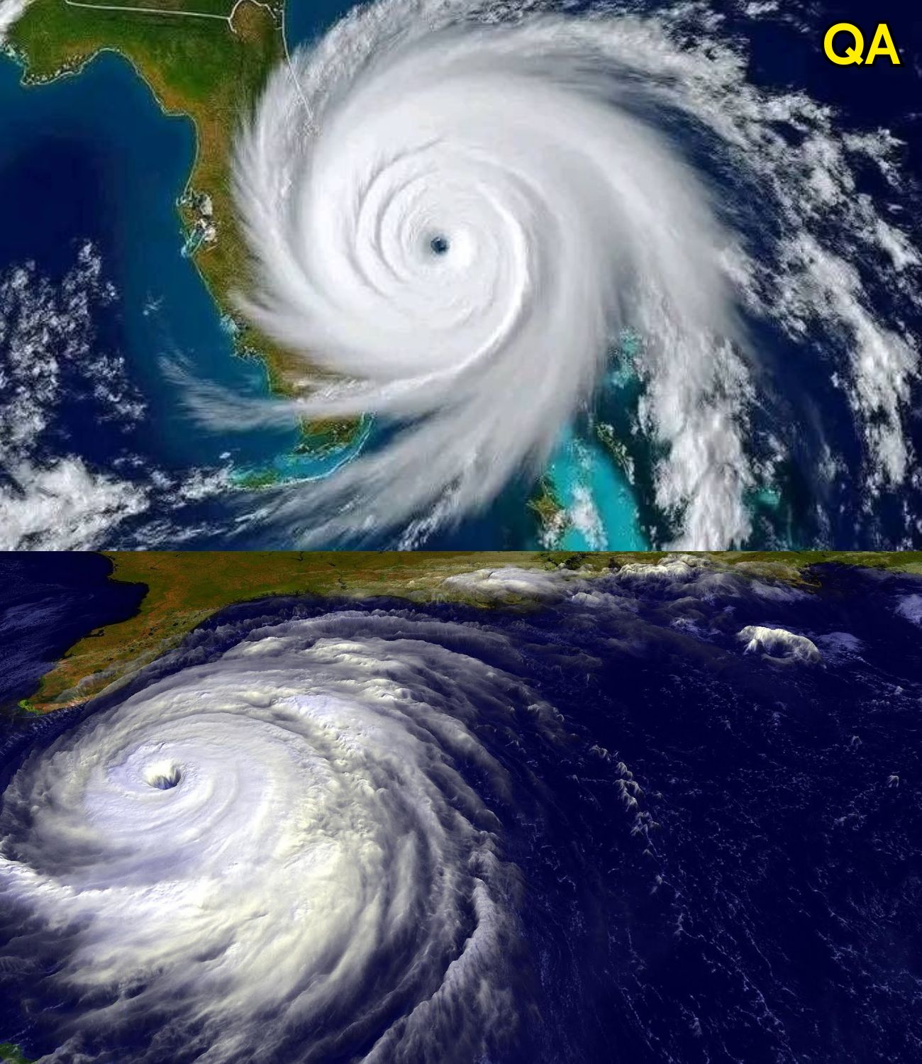
High-Risk Areas Along the U.S. Coast
Certain regions of the United States are more vulnerable due to geography and ocean conditions.
Gulf of Mexico
The Gulf of Mexico is one of the most closely watched areas. Warm waters here provide energy that can fuel storm growth. States like Texas and Louisiana often face elevated risk, especially when storms form nearby and have limited time to weaken.
Florida Peninsula
Florida is uniquely exposed, surrounded by water on three sides. Storms can approach from multiple directions, making forecasting tracks more complex.
U.S. East Coast
The East Coast, including North Carolina and South Carolina, is also at risk. These areas can be affected by storms moving northward along the coast, sometimes gaining strength from warm offshore waters.
The Science Behind Rapid Intensification
Rapid intensification has become an increasingly studied topic in meteorology. It occurs when environmental conditions align—low wind shear, high ocean temperatures, and strong internal storm structure.
In recent years, scientists have observed that some storms intensify more quickly than models initially predict. This makes early warning systems even more important.
Advanced satellite data, ocean buoys, and computer modeling are helping improve forecasts, but uncertainty remains a natural part of atmospheric science.
Preparedness Over Prediction
Because forecasts cannot guarantee exact outcomes, preparedness remains the most effective strategy. Coastal communities often focus on readiness measures such as emergency planning, infrastructure resilience, and public awareness.
Individuals can also take simple steps, including staying informed through official updates, preparing emergency supplies, and understanding evacuation guidelines if needed.
Preparedness is not about expecting the worst—it is about being ready for a range of possibilities.
Cultural and Social Awareness of Hurricanes
Hurricanes are not just meteorological events; they are part of the cultural memory of many regions. Communities along the Gulf Coast and East Coast have experienced past storms that shaped local awareness and response strategies.
These shared experiences influence how people interpret forecasts. Even in quieter seasons, there is an understanding that conditions can change quickly.
Media coverage also plays a role, often highlighting dramatic scenarios. Balanced reporting helps ensure that information remains accurate without creating unnecessary alarm.
A Season Defined by Uncertainty
The 2026 hurricane season reflects a broader truth about weather and climate: uncertainty is always present. Even with advanced technology, predicting exact outcomes remains a challenge.
El Niño adds another layer to this complexity, reducing overall activity while increasing variability in storm behavior. This combination makes the season particularly interesting from a scientific perspective.

Conclusion: One Storm Is Enough
The key takeaway for 2026 is simple but important. A lower number of storms does not eliminate risk. It only changes how that risk is distributed.
For coastal regions, especially in the United States, awareness and preparation remain essential. It is not the number of storms that defines a season—it is their impact.
Human curiosity drives us to follow forecasts, analyze patterns, and understand the forces shaping our planet. At the same time, these natural systems remind us of the importance of respect, preparation, and adaptability.
In the end, the 2026 hurricane season may be quieter on paper, but it still carries the potential to leave a lasting impression—just as many seasons before it have done.
Sources
National Oceanic and Atmospheric Administration (NOAA). Seasonal hurricane outlooks
World Meteorological Organization. Climate patterns and global weather systems
National Hurricane Center (NHC). Tropical cyclone forecasting and analysis
NASA. Research on El Niño and ocean-atmosphere interactions